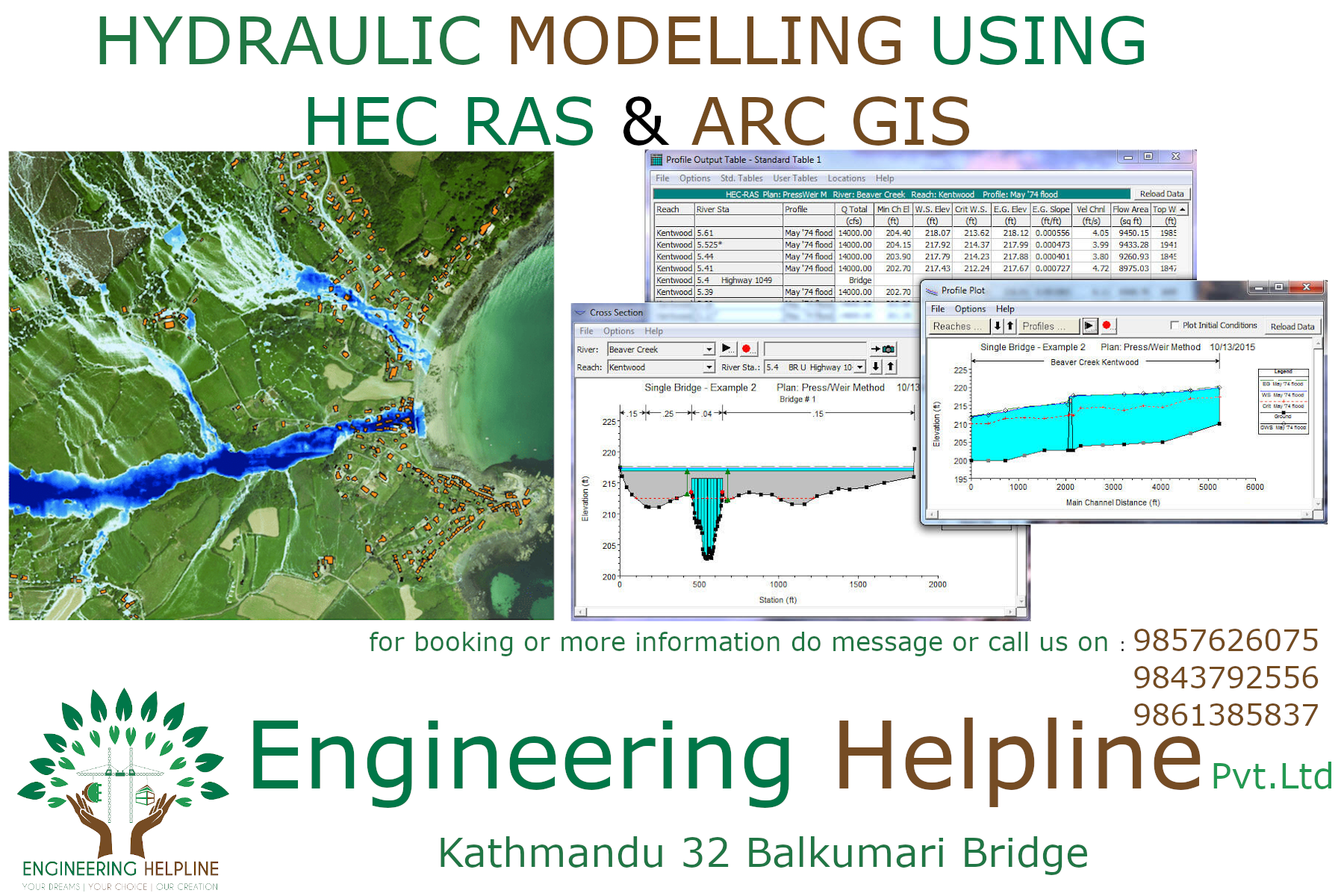
Training on "Arc GIS"
Course Features :
- Software Installation
-Review of Basic tools in Arc- GIS system
- connecting folder and data management
- Data Collection And Digitization
- Creating a new Shape files
- data import from different file sources
- Basic function clip, merge, buffering, dissolve
- Geo-referencing
- working in different layers
- Performing spatial analysis using Raster Algebra
-Terrain analysis ( Slope, aspect, View shed, X-section, L-Section)
- Watershed Modeling (Correction for DEM, Flow Direction, Seek Computation,)
- Watershed delineation,slope analysis ,catchment area calculation
-Reservoir volume calculation
- Layout preparation and printing
- Reservoir Height Analysis
- DEM and Contour Formation from Total Station Data